
Montreal As-Built Measurement & Drafting Services
DCMS delivers engineering-grade 3D laser scanning, LiDAR, reality capture, as-built documentation, Scan to BIM and digital twins. We capture existing conditions and transform them into precise drawings, BIM models and engineering data, helping architects, engineers and contractors reduce costly field errors, avoid rework and move projects forward with confidence.
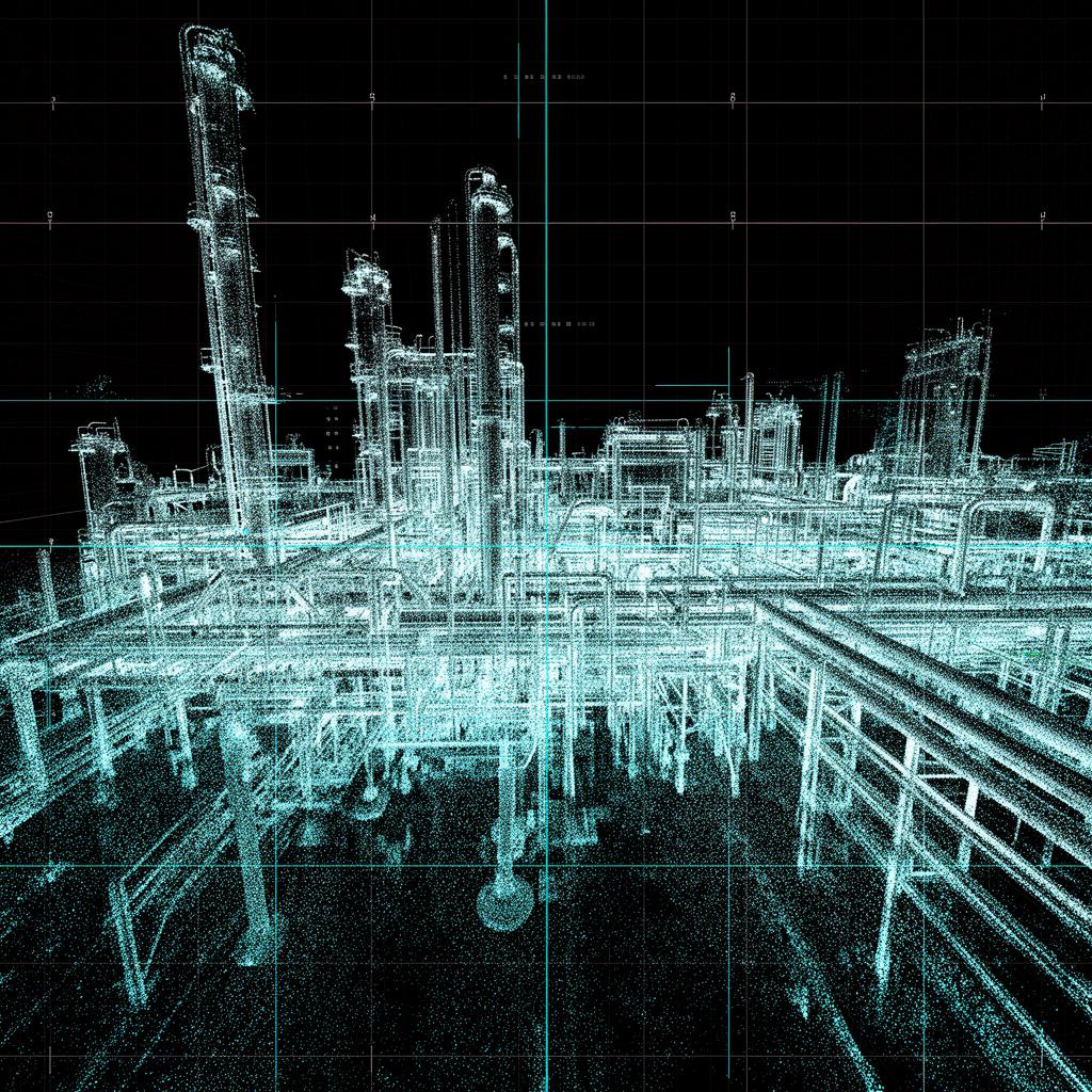
LNG: 73.5673° W
Trusted on Projects for Leading Organizations
Precision. Speed. Trust.
Projects get expensive when existing-condition data is wrong. Inaccurate drawings, missed site conditions and incomplete documentation create redesigns, repeat visits and construction delays. DCMS gives your team verified field data early, so architects, engineers and contractors can move forward with confidence.
Reduce Design Risk
Work from verified existing conditions instead of outdated drawings, assumptions or incomplete field notes.
Avoid Costly Rework
Identify site conditions early, before discrepancies become change orders, repeat visits or construction delays.
Build With Confidence
Give your project team accurate documentation they can rely on for design, coordination and decision-making.
Project Experience
Precision
Typical Turnaround
On-Time Delivery
Comprehensive technical solutions, from scan to deliverable.
3D Laser Scanning, LiDAR & Drone Surveying
High-precision 3D laser scanning, aerial drone surveys and photogrammetry for comprehensive site documentation.
As-Built Documentation & Reality Capture
Fast, accurate as-built surveys delivering AutoCAD plans and Revit BIM models with industry-leading turnaround times.
Digital Twins & BIM Models
Cloud-hosted digital twins and BIM coordination models (LOD 200–300) for long-term asset management.
Building & Structural Inspections
Comprehensive envelope inspections, deflection analysis and structural assessments using advanced LiDAR.
Engineering Consulting & Technical Analysis
Expert engineering analysis, technical diagnostics and MEP system documentation for retrofit and renovation.
Forensics, Condition Assessment & Remedial Planning
Technical investigations, heritage documentation and condition reports for remedial engineering.
Petrochemical / Mining / Aggregates Services
Specialized volumetric analysis, plant documentation and safety compliance for heavy industry operations.
From Existing Conditions to Project-Ready Data.
- STEP 01
Send Us Your Project
Share your site information, existing documentation, required deliverables and timeline.
- STEP 02
We Scope & Mobilize
DCMS defines the capture methodology, accuracy requirements and field schedule for your project.
- STEP 03
We Capture Reality
Our team documents existing conditions using the appropriate laser scanning, LiDAR, photogrammetry and inspection workflows.
- STEP 04
You Get Project-Ready Data
Receive the agreed drawings, BIM models, point clouds, reports or technical documentation ready for your project team.
Purpose-built workflows for specialized industries.
Commercial Real Estate
Office, retail and mixed-use developments.
Institutional & Public Sector
Universities, hospitals, schools, government and heritage.
Retail Chains & Multi-Site
Store rollouts, restaurants, franchise locations.
Engineering, Infrastructure & Industrial
Bridges, highways, utilities, civil projects.
Mining & Aggregates
Quarries, mines, stockpile measurement.
Petrochemical & Heavy Industry
Refineries, chemical plants, process facilities.
Real projects. Real existing conditions.
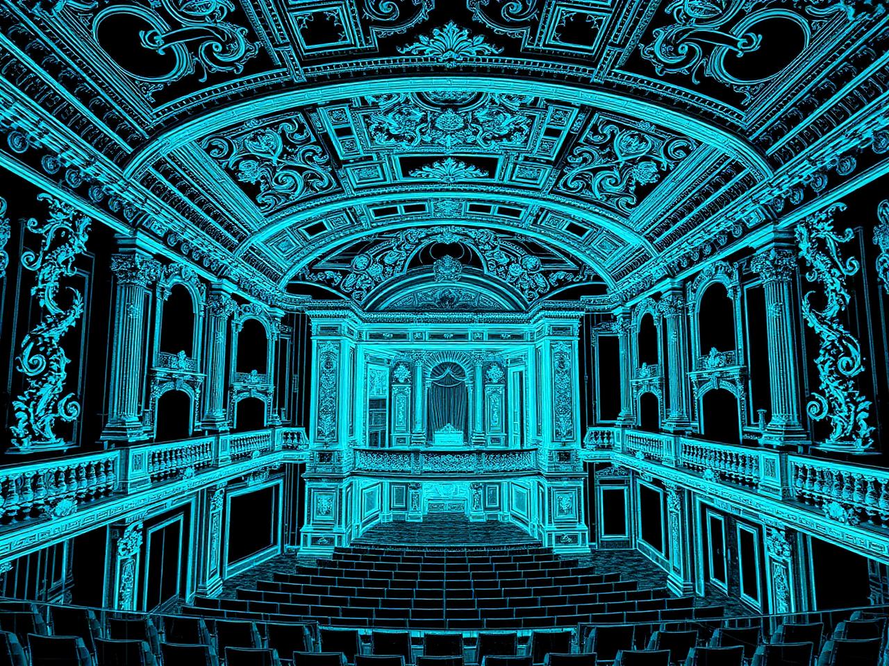
Historic Opera House Renovation Documentation
Institutional performing arts venue
Scope
Complete LiDAR documentation of a historic performance venue ahead of a major renovation.
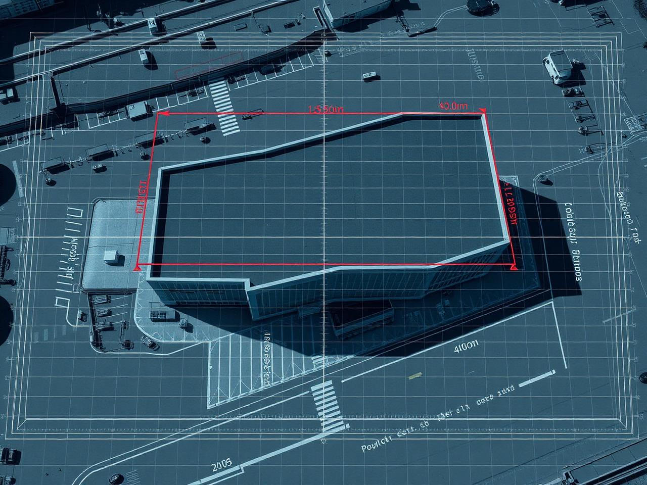
National Retail Rollout Program
National big box retailer
Scope
Multi-site as-built documentation supporting 200+ store renovations and new openings.
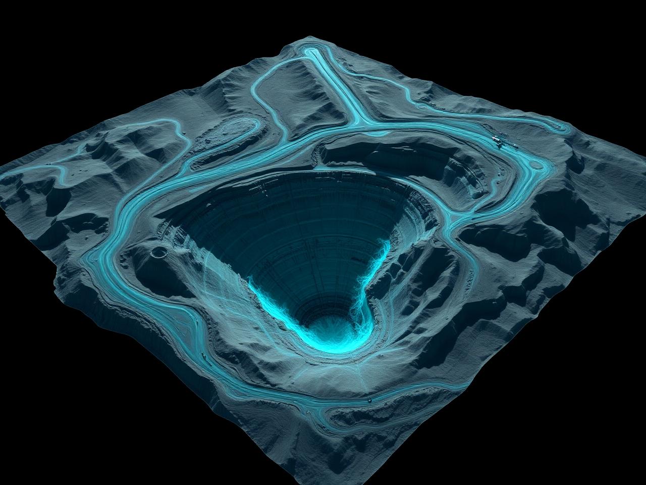
Open Pit Mine Volumetric Analysis
Mining operator, Northern Ontario
Scope
Monthly drone surveys for stockpile inventory, haul road condition and slope monitoring.
On-the-ground crews across Greater Montréal.
Based in Saint-Henri, our Montréal team mobilizes across Greater Montréal for laser scanning, as-built documentation, inspections and reality capture, from heritage buildings in Vieux-Montréal to downtown towers and industrial facilities across the South Shore.
What Project Teams Ask Before We Scan.
01How accurate is 3D laser scanning?
+
Our terrestrial laser scanning workflows target engineering-grade tolerances, typically around ±3mm on registered survey data. Final accuracy depends on site conditions, scan density and the deliverable required, so we confirm the target tolerance with your team before mobilizing.
02What does an as-built survey include?
+
An as-built survey documents the existing conditions of a building or site and converts that capture into usable documentation: floor plans, sections, elevations, BIM models, point clouds or technical reports. The exact package is defined with you at scoping.
03How quickly can DCMS mobilize in Montreal?
+
We are based in Saint-Henri and mobilize crews across Greater Montréal, including Vieux-Montréal, downtown, Laval, Longueuil and the West Island. Contact us with your site and timeline and we will confirm the earliest available field date.
04How long does an as-built survey take?
+
Field time depends on the size, complexity and accessibility of the site. Most projects fall within a 24 to 72 hour delivery window after capture, though larger or multi-building scopes are scheduled individually.
05Can DCMS create BIM models from point cloud data?
+
Yes. Scan to BIM is a core service. We register the point cloud and model the building or facility to the level of detail your project team requires.
06What LOD can BIM models be delivered in?
+
Our digital twin and BIM coordination models are commonly delivered in the LOD 200 to LOD 300 range. If your project requires a different level of development, we will confirm feasibility during scoping.
07Can you scan occupied buildings?
+
Yes. Reality capture is non-intrusive and we routinely plan around occupied and operational spaces, including heritage buildings, institutional facilities and active industrial sites. Access windows are agreed in advance.
08Can DCMS work from existing drawings?
+
Yes. Existing drawings are useful reference material. We verify them against captured reality so your team knows what is accurate and what has changed on site.
09What information do you need to provide a quote?
+
Site location, approximate size, what needs to be captured, the deliverables you need and your timeline. If you have existing documentation, sharing it helps us scope accurately.
10Does DCMS work outside Montreal?
+
Yes. Montréal is our home base and we deliver projects across the Americas. Tell us where the site is and we will confirm coverage and scheduling.
Get the existing conditions right before construction starts.
Tell us what you're planning, what needs to be captured and when you need it. Our team will help define the right scope, deliverables and reality capture approach for your project.
Available 24/7 • Montréal-Based • Projects Across the Americas